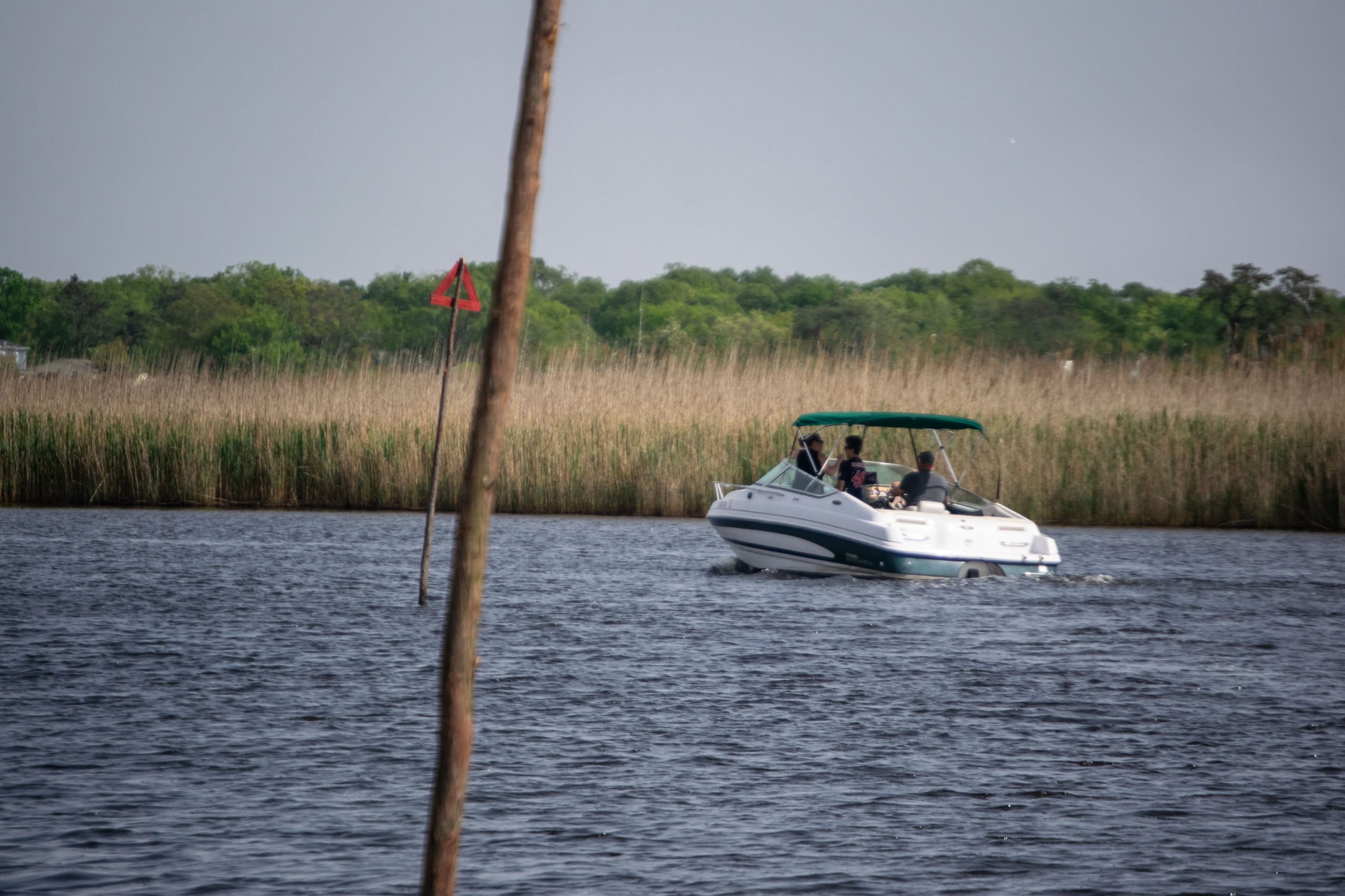
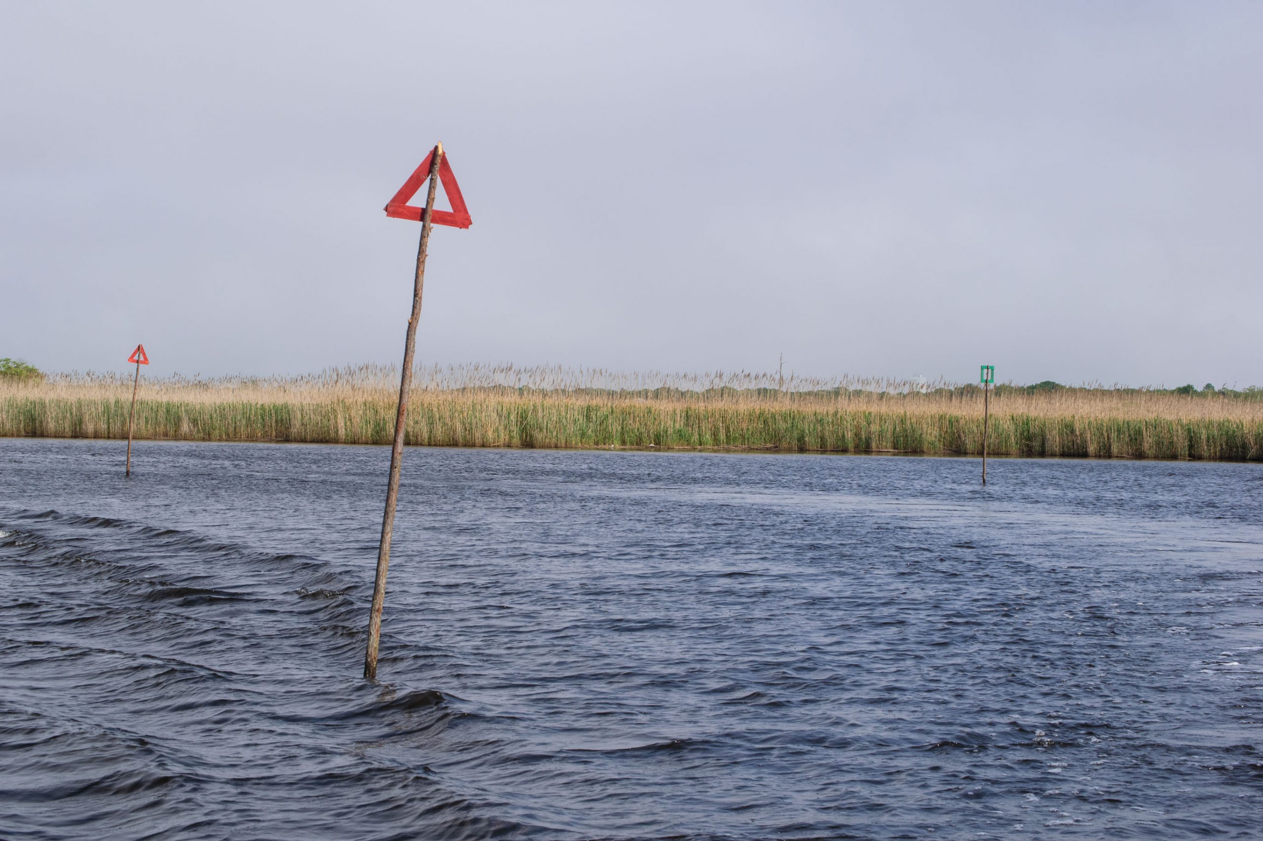
After several weeks of frequent groundings, some causing costly damage to boaters’ vessels, navigational aids have been placed in Brick’s backwater channels – including the busy thoroughfare to the and from the narrows of the Metedeconk River.
Both boaters and marina owners have been expressing concern over the lack of channel markers for several weeks. One marina owner told Shorebeat that several boats suffered damage when they ran aground in the shallow waters of the upper Metedeconk River. The state Department of Environmental Protection, reached by Shorebeat, has not yet provided an answer as to the status of the state’s overall navigational aid deployment this season, but Wednesday morning yielded good news: the markers have been installed.
The state’s vessels launched from Jersey Shore Marina off Route 70 in Brick to deploy the “stick markers,” as they are often called, along the entirety of the upper Metedeconk River. Markers have also been installed in the channel leading out to the center of the river, past Windward Beach, as well as in Beaver Dam Creek. Seasonal channel markers at Gunner’s Ditch and in the area of the Mantoloking Bridge had already been in place, while permanent aids marking the intracoastal waterway are permanently in place and fall under the jurisdiction of the U.S. Coast Guard.
Boaters should not that some channels markers have been moved compared to last year. The Metedeconk was the recipient of a major dredging project, resulting in some slight deviations to existing markers. Boaters are generally advised to update their GPS charplotter software every season.

Advertisement

Police, Fire & Courts
Grand Jury Indicts Point Pleasant Man, Once a Fugitive, for Attempted Murder

Police, Fire & Courts
Brick Juvenile Charged With Assault, Robbery, Weapons Offenses After Incident at Park


