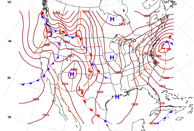
A low pressure system forecast off the coast, Feb. 1, 2021. (Credit: NWS)
Meteorologists are tracking a potentially lengthy storm that may last from Sunday night into next Tuesday, with the chance to bring snow to the region after a frigid weekend ahead.
The storm will emanate from a low pressure system offshore, meaning the rain-snow line will likely be determined based on how far off the coast the system tracks. As it currently stands, the National Weather Service is calling for a chance of rain and snow between 1 p.m. and 4 p.m. Sunday, changing to all snow after 4 p.m. Snow will continue overnight Sunday and last through 10 a.m. Monday before mixing with rain midday. The storm could eventually bring all rain to the Shore area.
|
|
Both Monday night and Tuesday carry the risk of either rain or snow, depending on the track of the system. But forecasters were not ready to begin issuing predictions on snow totals – or even a guarantee that the storm will come at all.
The European forecast model “forecasts tremendous and historic snowfall in the Mid-Atlantic Sunday-Tuesday, but it’s 5-7 days away, so must be treated with some skepticism,” the Capital Weather Gang Twitter page said.
Time to talk about the elephant in the room… today's European model run. It forecasts tremendous and historic snowfall in the Mid-Atlantic Sunday-Tuesday but … it's 5-7 days away, so must be treated with some skepticism. (1/x) pic.twitter.com/oGDzeQddMV
— Capital Weather Gang (@capitalweather) January 26, 2021
The storm will come on the heels of a cold weekend. Though it will be sunny, Friday’s high will reach just 27 degrees, and Saturday will, likewise, be sunny with a high of only 30 degrees. Sunday’s high temperature is forecast to break the freezing mark, topping out at 35 degrees, before plunging to an overnight low of 28 degrees, the NWS forecast said.


Police, Fire & Courts
Teacher From Brick, 36, Charged With Carrying on Affair With Student

Brick Life
Adult Autism Transition
Police, Fire & Courts
Teacher From Brick Charged in Another Sex Affair With Student


