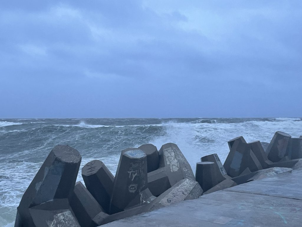
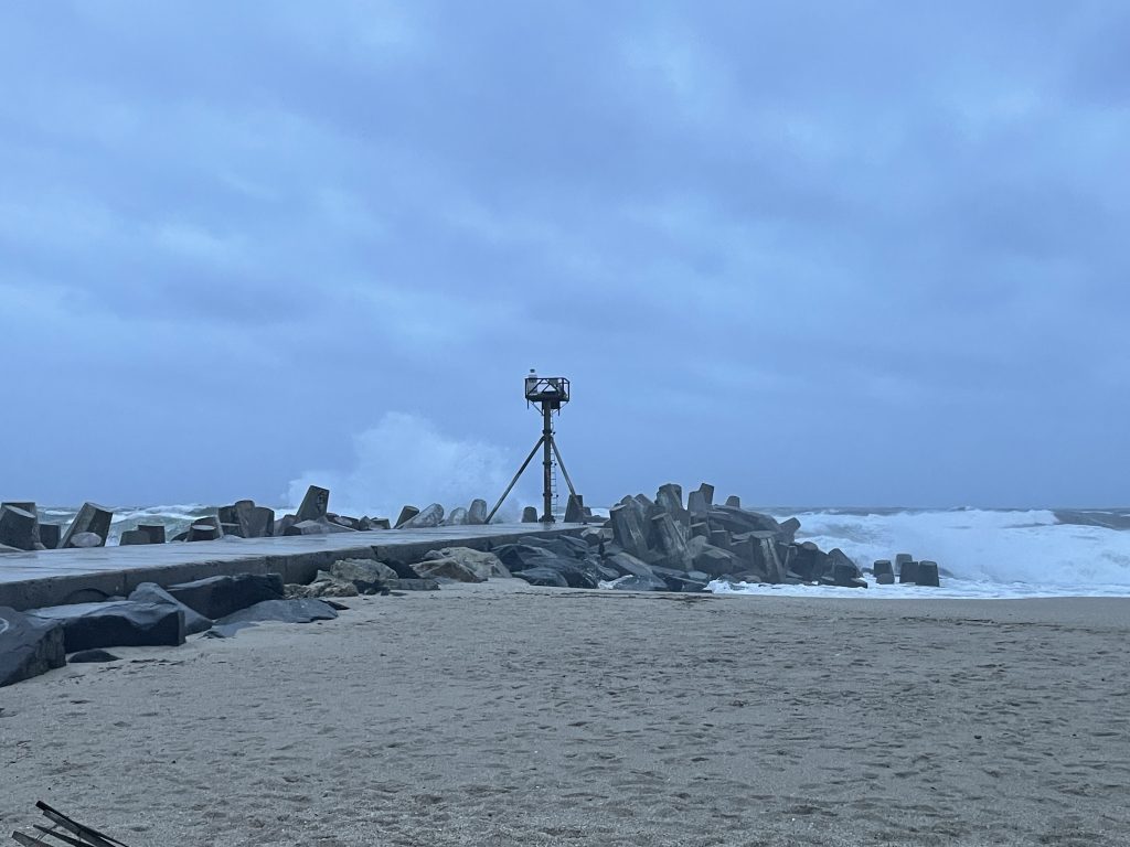
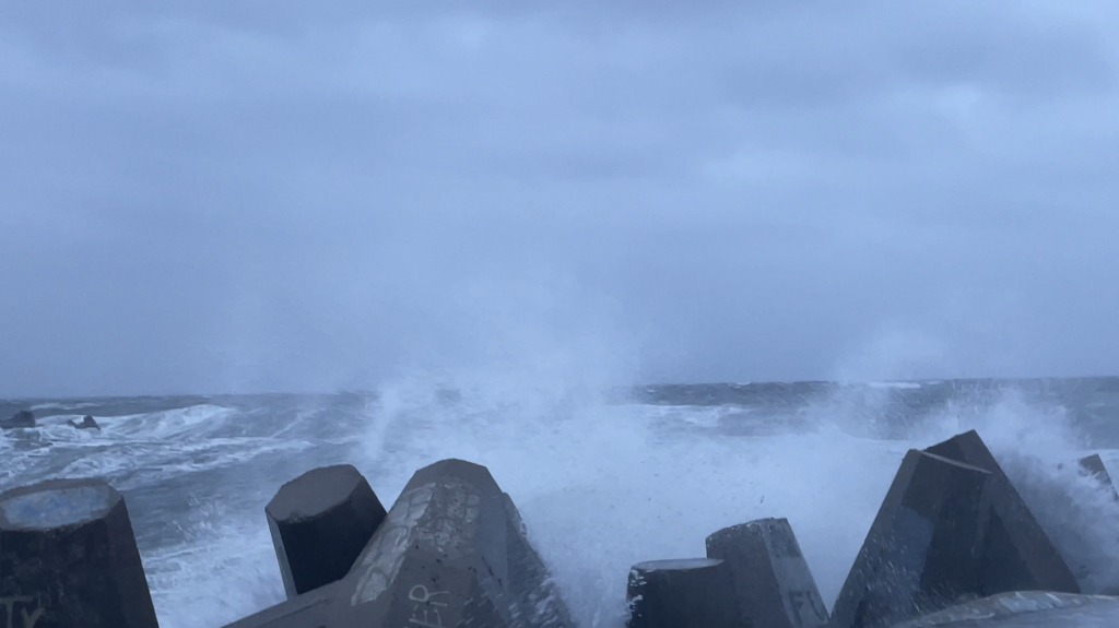
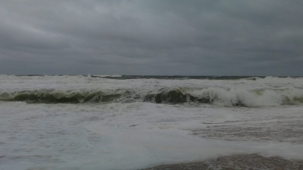
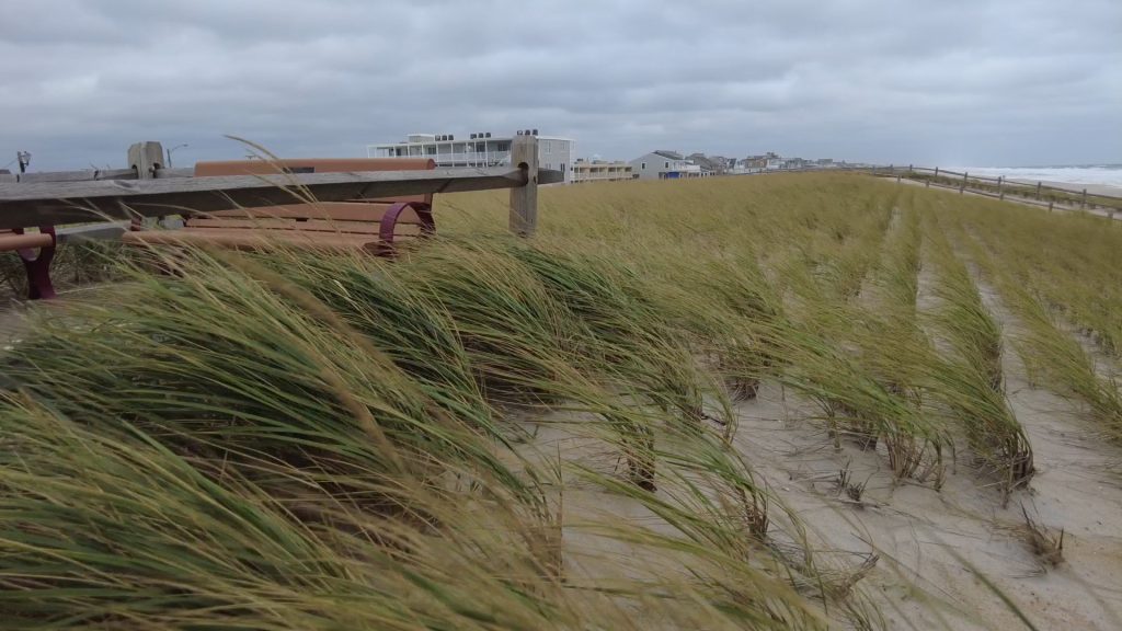
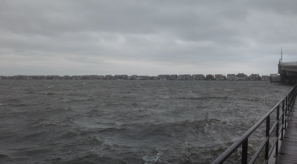
Violent swells pounded the Ocean County coastline Friday as the second nor’easter in a week brought with it strong onshore winds that sent foam and sand flying down local streets and the largest swells in some time being seen offshore and in the local inlets.
A wind advisory remained in effect Friday night for southeast winds between 20 and 30 m.p.h. with gusts to 50 m.p.h.
A coastal flood warning was also in effect, with bayside tides running the highest they’ve been in months. Tidal flooding will continue through Saturday, according to the National Weather Service. The multi-day flood threat will continue to plague coastal communities.
“At this level, flooding begins on the most vulnerable roads in coastal and bayside communities, and along inland tidal waterways,” an NWS advisory said. “Some partial or full road closures are possible. The most significant flooding is likely to occur in the back bays where water is likely to remain trapped at least through Saturday.”
Manasquan Inlet was deserted Friday, but a wild scene was playing out between the two jetties as the wrath of the Atlantic in fall made it presence known at the Jersey Shore.
Seas are expected to run 9 to 15 feet Friday night and Saturday before easing to 6 to 11 feet Saturday night. By Sunday, seas will remain rough, but swells will decrease to 4 to 8 feet.

Advertisement

Police, Fire & Courts
Grand Jury Indicts Point Pleasant Man, Once a Fugitive, for Attempted Murder

