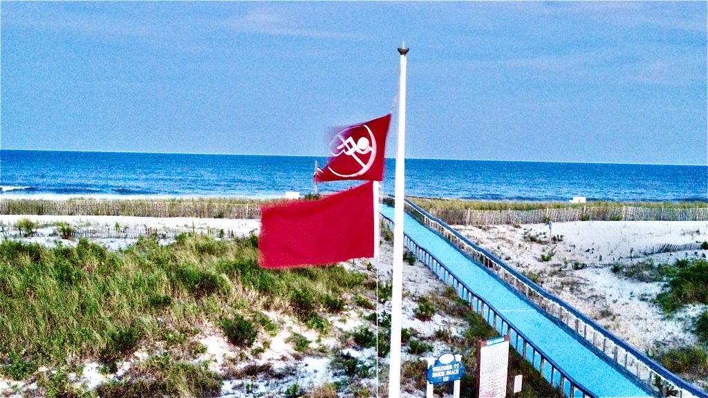
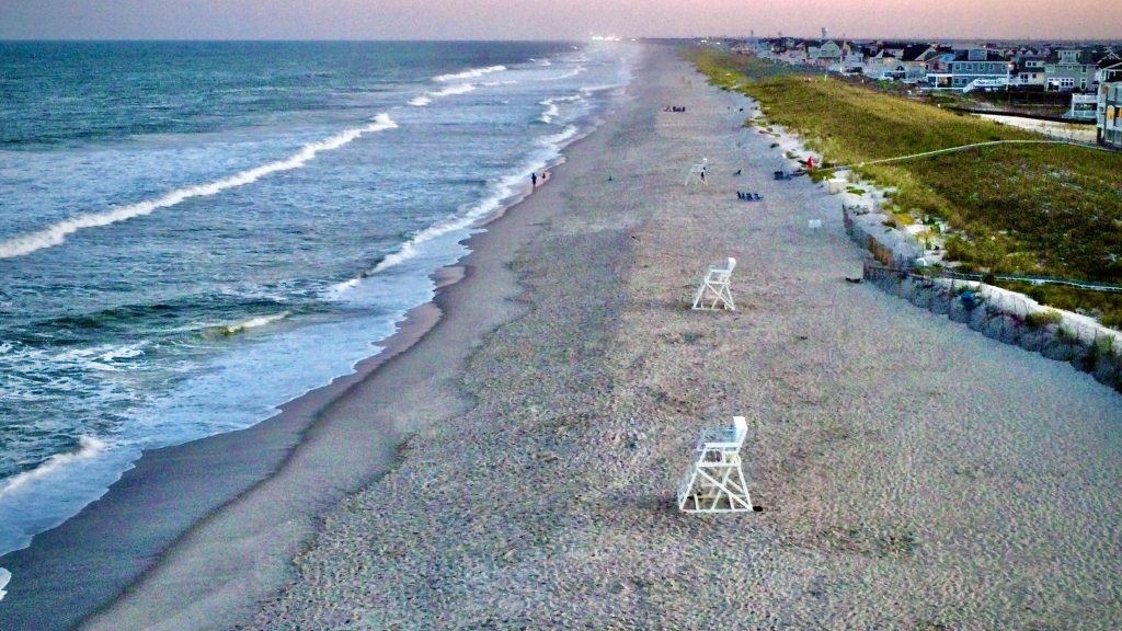
The National Weather Service has extended its forecast of “high” rip current risks at the Jersey Shore to 9 p.m. Sunday, meaning swimmers may not have their usual level of access to ocean beaches in some locations.
According to the NWS Surf Zone Forecast for Ocean County, the surf height will be 3-4 feet Sunday and carry with it a “high” risk current risk. The NWS defines “high” as “life-threatening rip currents likely in the surf zone.”
Water temperatures will remain in the upper 60s and wind will be from the southwest at about 10 m.p.h.
On Monday, the rip current risk is predicted to be “moderate,” meaning “life-threatening rip currents are possible in the surf zone,” as opposed to “likely” during high-risk periods. Water temperatures will remain in the high 60s with surf heights of 2-3 feet with west winds around 5 m.p.h., becoming southwest in the afternoon.
The NWS issues its Surf Zone Forecast for periods of two days at a time.
“There is a high risk of rip currents,” a statement from the local NWS office in Mount Holly said. “A high risk of rip currents implies that wind and/or wave conditions will support the development of very strong rip currents. Rip currents can be life threatening to anyone caught in the rip current.”
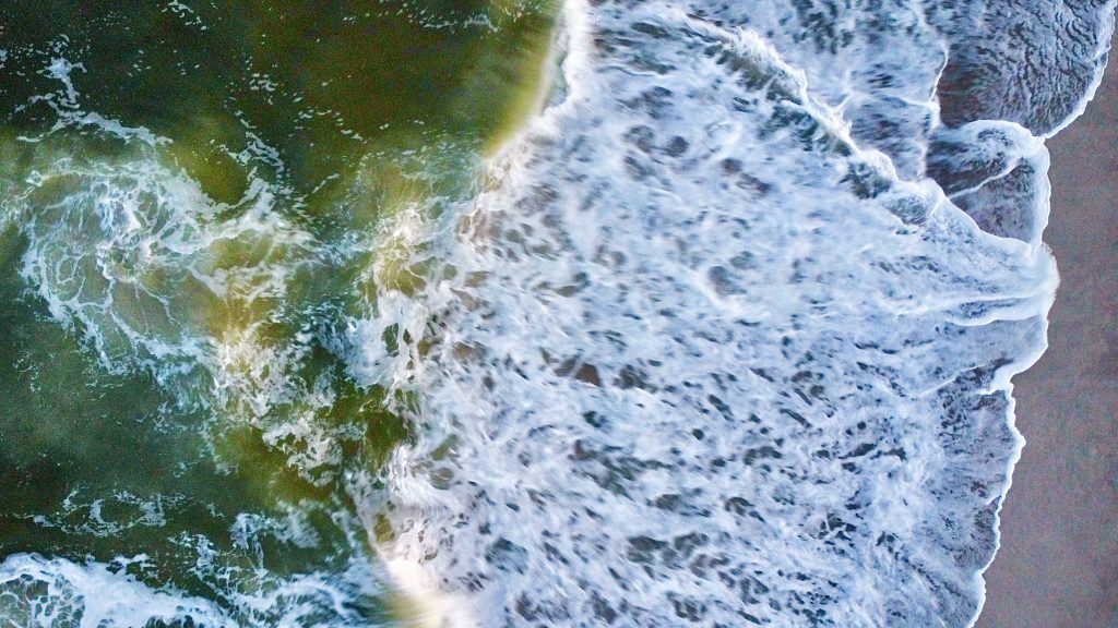
Rip currents are powerful channels of water flowing quickly away from shore, which occur most often at low spots or breaks in the sandbar and in the vicinity of structures such as groins, jetties and piers.
According to the NWS, if you become caught in a rip current, yell for help. Remain calm, do not exhaust yourself and stay afloat while waiting for help. If you have to swim out of a rip current, swim parallel to shore and back toward the beach when possible. Do not attempt to swim directly against a rip current as you will tire quickly.


