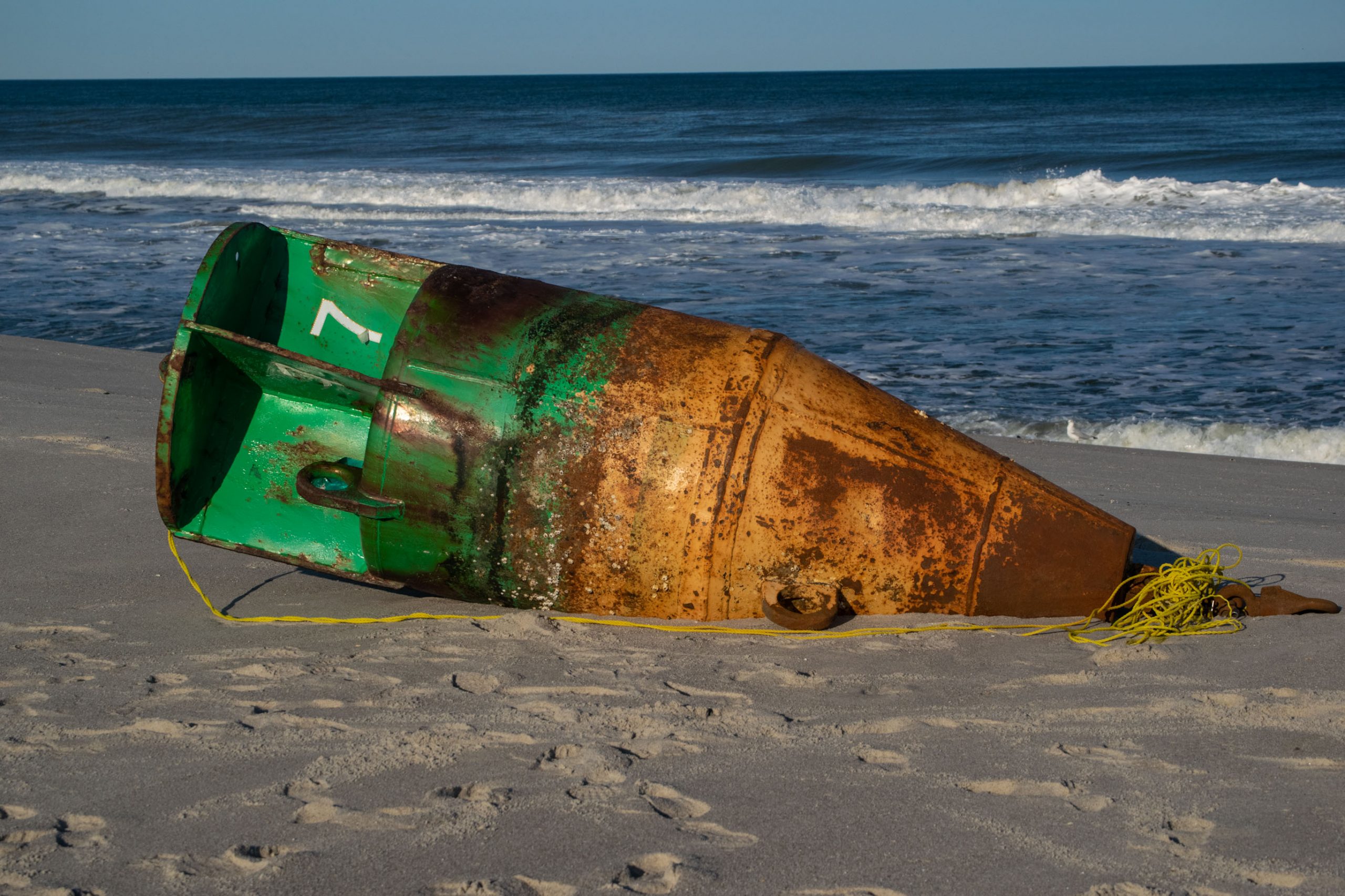
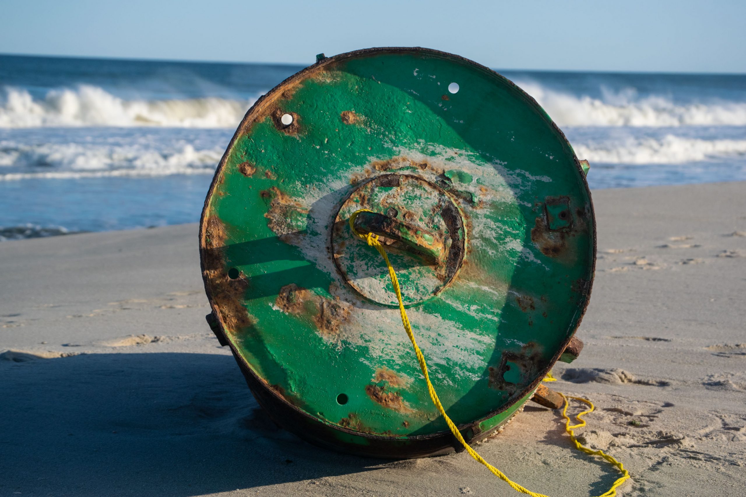
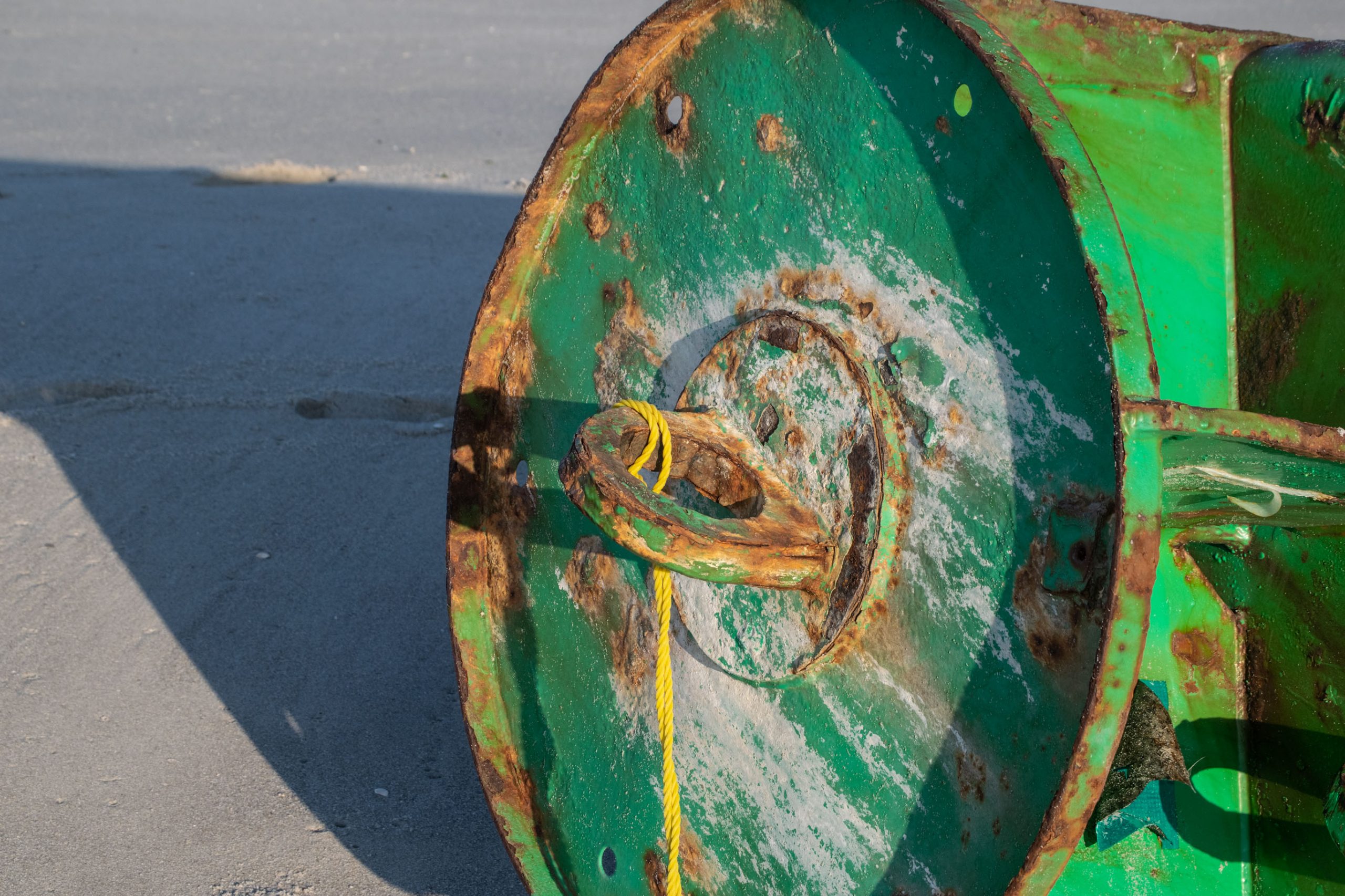
A green lateral buoy washed up on Brick Beach III, Sept. 22, 2020. (Photo: Daniel Nee)
Rough surf stirred up by Hurricane Teddy, spinning hundreds of miles offshore, has apparently claimed a buoy that broke from its anchor somewhere offshore and washed up in Brick.
The green lateral buoy washed just north of the Beach III entrance and was attracting the attention of several onlookers who were surfing or otherwise checking out the waves Tuesday.
A green lateral buoy washed up on Brick Beach III, Sept. 22, 2020. (Photo: Daniel Nee)
|
|
A green lateral buoy washed up on Brick Beach III, Sept. 22, 2020. (Photo: Daniel Nee)
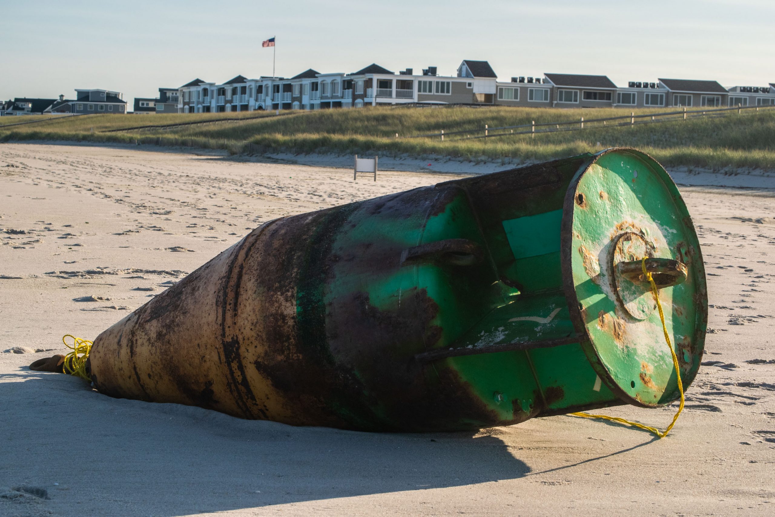
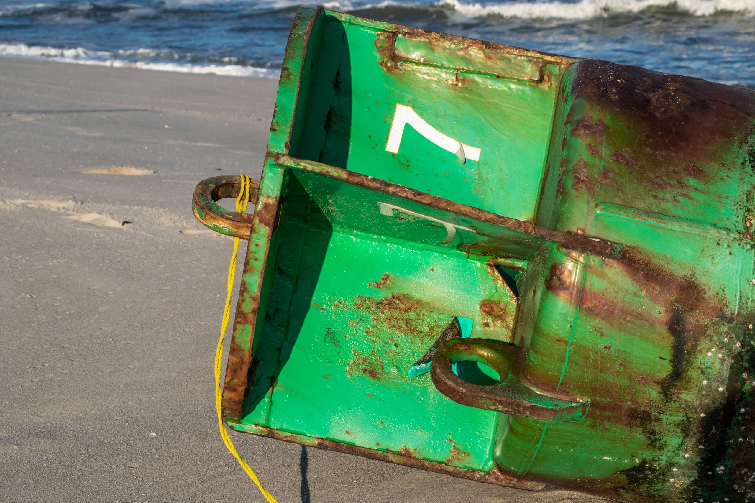
This all begs the question: where did the buoy come from? Township officials were not sure, and the U.S. Coast Guard has not yet responded to our request for more information. But we can narrow it down – somewhat. The green buoy was marked with the number “7” – which leads us to search nautical charts for that specific buoy. There are several similar buoys in Barnegat Bay, however it is unlikely that one this size would have broke its anchor and floated through an inlet (and possible the Point Pleasant Canal) and wash up in Brick. Keeping this in mind, we found two possibilities.
Technically, the nearest green lateral buoy to Brick marked with the number “7” is in the Manasquan River. But it is located quite a distance up the river – just off Clark’s Landing, west of the Route 35 bridge.
The nearest green lateral buoy marked with the number “7” in the ocean is located near the entrance to New York Harbor. According to data from nautical charting firm Navionics, the buoy is located directly between Sandy Hook and the New York peninsula known as Breezy Point.
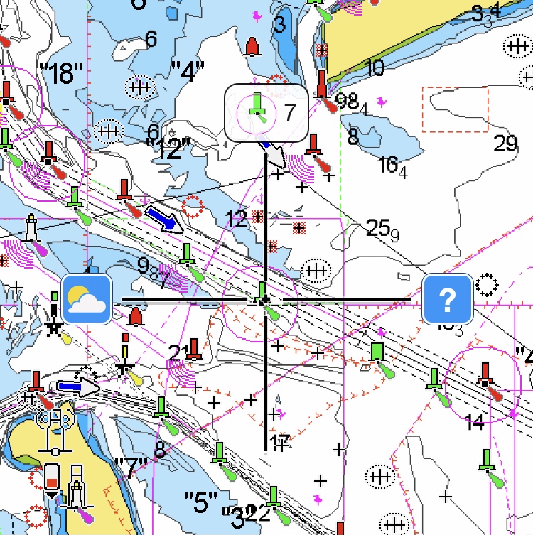
Buoy marker #7 off Sandy Hook. (Credit: Navionics)
A green lateral buoy washed up on Brick Beach III, Sept. 22, 2020. (Photo: Daniel Nee)
A green lateral buoy washed up on Brick Beach III, Sept. 22, 2020. (Photo: Daniel Nee)
A green lateral buoy washed up on Brick Beach III, Sept. 22, 2020. (Photo: Daniel Nee)
A green lateral buoy washed up on Brick Beach III, Sept. 22, 2020. (Photo: Daniel Nee)
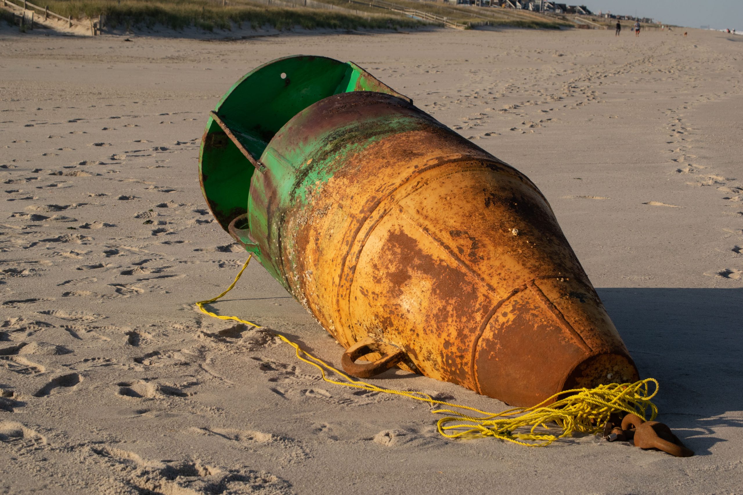
The Navionics data shows that the buoy in the river is not lighted, while the New York Harbor buoy is. The one that washed up in Brick had no signs of a light, but there’s always the chance it could have been torn off in the surf.
Then, of course, there is the chance that the buoy came from much farther away, pushed to the Jersey Shore by the hurricane.
“It’s just a marker that must have washed up,” said Mayor John Ducey.

A green lateral buoy washed up on Brick Beach III, Sept. 22, 2020. (Photo: Daniel Nee)
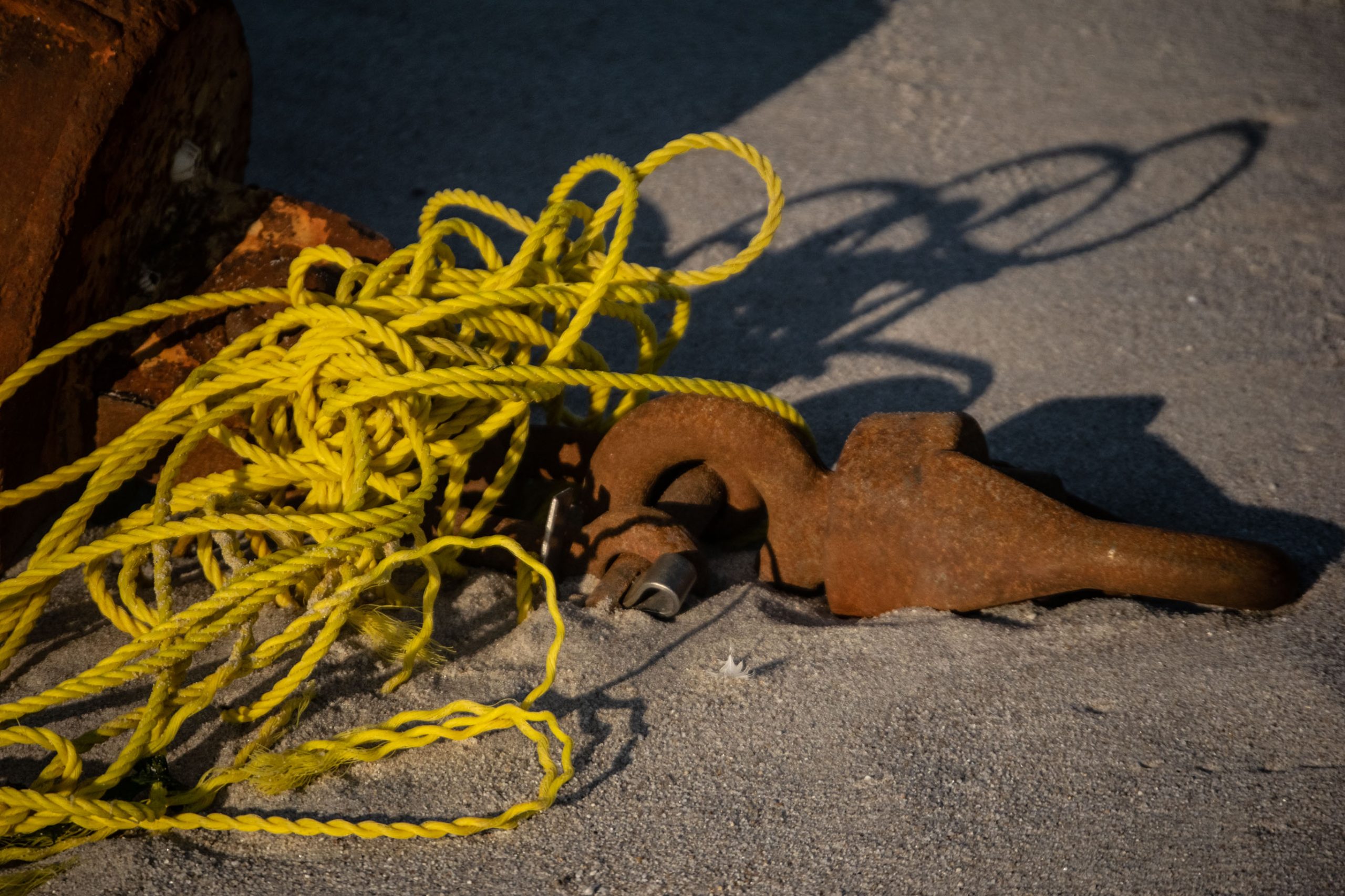
Ducey said the township’s recreation director, Daniel Santaniello, is planning to call the U.S. Coast Guard to pick up the buoy tomorrow. Generally, the Coast Guard brings heavy equipment onto the beach to transport such markers onto a flatbed where they are returned to federal jurisdiction by a dedicated aid-to-navigation unit. Perhaps then we’ll find out where it came from.


Police, Fire & Courts
Teacher From Brick, 36, Charged With Carrying on Affair With Student

Brick Life
Adult Autism Transition
Police, Fire & Courts
Teacher From Brick Charged in Another Sex Affair With Student


