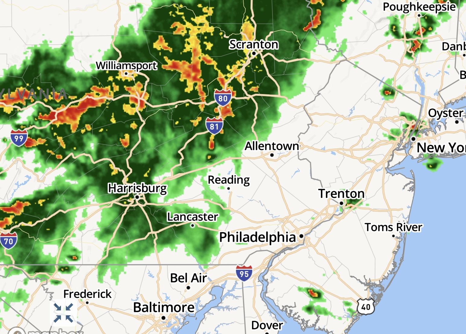
A radar image recorded 2:45 p.m., July 29, 2021. (Credit: NWS/HD Radar)
A wide line of severe thunderstorms currently in Pennsylvania will move east into the Shore area over the course of the late afternoon Thursday, prompting the National Weather Service to issue a tornado watch for Ocean County.
According to the NWS forecast, showers and thunderstorms will gradually move in after 3 p.m. and will remain a threat until about 1 a.m. The tornado watch itself runs until 9 p.m.
“Some storms could be severe, with large hail, damaging winds, and heavy rain,” the NWS forecast said.
|
|
The storm is predicted to bring in about an inch of rain, though local rainfall amounts could total about 3 inches if a particularly severe storm passes through. A tornado watch is issued when meteorological conditions “are favorable for the development of severe thunderstorms capable of producing tornadoes.:


Police, Fire & Courts
Teacher From Brick, 36, Charged With Carrying on Affair With Student

Brick Life
Adult Autism Transition
Police, Fire & Courts
Teacher From Brick Charged in Another Sex Affair With Student


