Wind speeds are expected to be high, according to the NWS forecast graphic. (Credit: NWS)
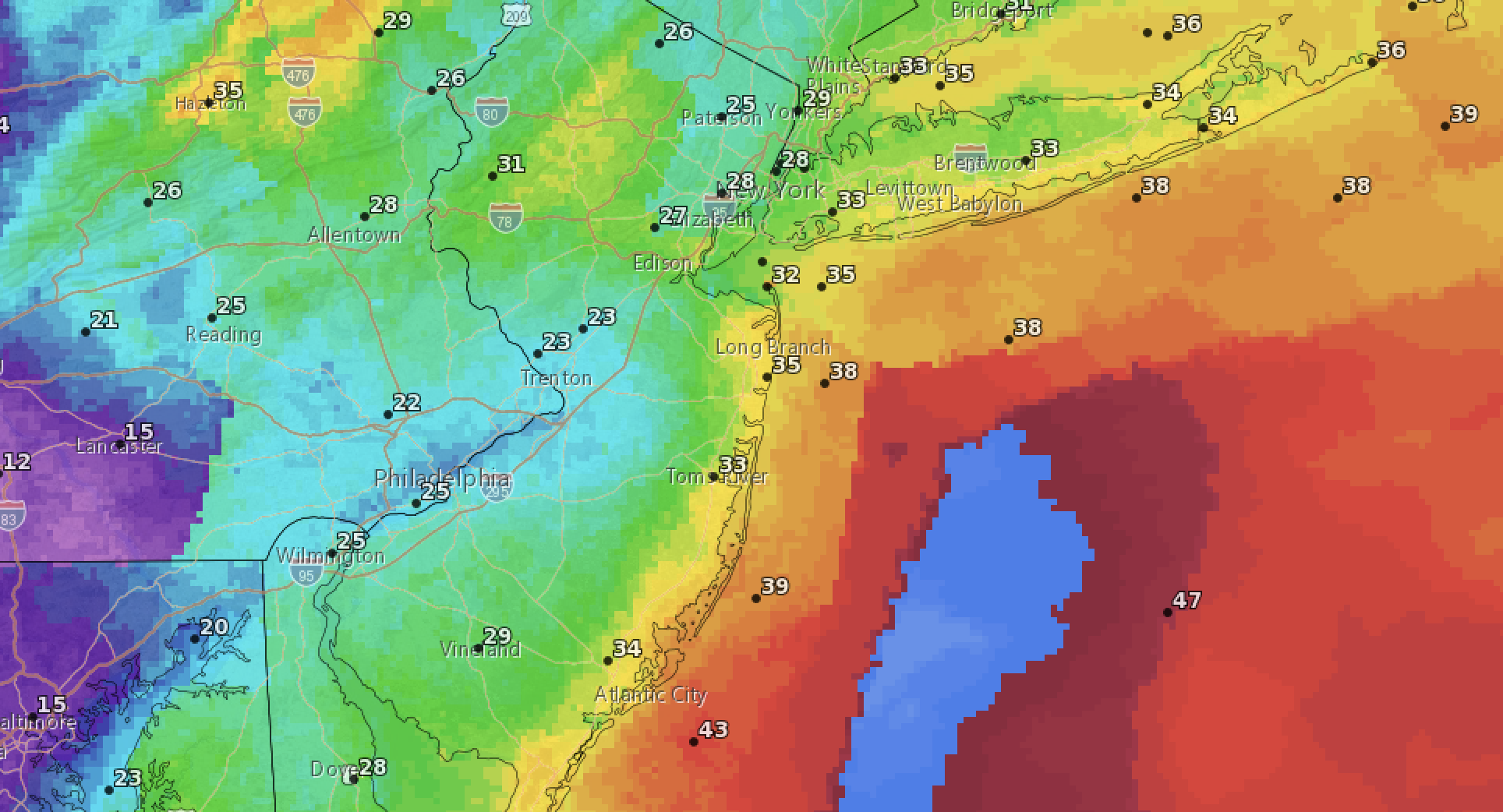
A weekend storm will bring as much as 2-inches of rain to the Jersey Shore area, plus winds and flooding, the National Weather Service warned Friday.
Rain was forecast to begin falling across the region after 4 p.m. Friday, the NWS said, before thunderstorms and heavier precipitation move in during the evening hours. Some of the storms could produce heavy rainfall, the agency warned, with temperatures rising to around 53 degrees by sunrise Saturday morning.
Overnight, it will be windy, with a southeast wind 25 to 30 m.p.h. becoming south 15 to 20 m.p.h. Winds could gust as high as 45 mph. Between three-quarters and an inch of rain was forecast to fall overnight.
|
|
⚠️ Widespread coastal flooding is forecast for tidal areas of NJ, DE, and PA during the Sat morning high tide. Moderate flooding is expected in the red highlighted warned area, with areas of major coastal flooding possible along Raritan and Barnegat Bays. #NJwx #DEwx #PAwx #MDwx pic.twitter.com/w87xzhWf1C
— NWS Mount Holly (@NWS_MountHolly) March 3, 2023
On Saturday, the rain will continue, the forecast said, though the system was expected to exit the region by mid-morning. Another quarter-inch of rain could fall during the morning hours, while winds will continue to be sustained at about 25 m.p.h., gusting to 35 m.p.h. Saturday’s high will be 53 degrees.
The NWS has also issued a coastal flood warning and a wind advisory. The coastal flood warning will be in effect from 3 a.m. Saturday to 11 a.m. Saturday, covering the morning high tide period.
“Widespread moderate tidal flooding is expected, especially along Barnegat Bay,” the warning notice said. “There is potential for some tidal gauges to reach major flood stage along Barnegat Bay. A prevailing southwest to west wind after the astronomical high tide occurs could prevent water from draining out of Barnegat Bay, which may lead to minor or moderate tidal flooding lingering into Saturday afternoon or evening.”
Roads may be impassable and damage to “vulnerable structures” could result, the warning said.
Coastal Flood Advisories are now in effect for portions of the coast of NJ and the Delaware River and Bay, wind advisories are in effect along the Atlantic coast, and winter weather advisories are up in the Poconos. pic.twitter.com/rvSLHihddj
— NWS Mount Holly (@NWS_MountHolly) March 3, 2023
The wind advisory is in effect from 8 p.m. Friday to 4 a.m. Saturday morning.
“Gusty winds could blow around unsecured objects,” the advisory said. “Tree limbs could be blown down and a few power outages may result.”
In localized thunderstorms, gusts could reach as high as 50 to 60 m.p.h., according to the NWS statement.


Police, Fire & Courts
Teacher From Brick, 36, Charged With Carrying on Affair With Student

Brick Life
Adult Autism Transition
Police, Fire & Courts
Teacher From Brick Charged in Another Sex Affair With Student


